


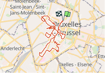


12,8 km | 15,1 km-effort

Benutzer


Kostenlosegpshiking-Anwendung
 SityTrail
IGN / Geografische Institute
SityTrail World
Die Welt öffnet sich für Sie
Tour Wandern von 12,9 km verfügbar auf Brüssel-Hauptstadt, Unbekannt, Stadt Brüssel. Diese Tour wird von Geert H. vorgeschlagen.
Een stadswandceling in het centrum van Brussel zonder al te veel gepland te hebben van wat we wilden zien of doen.


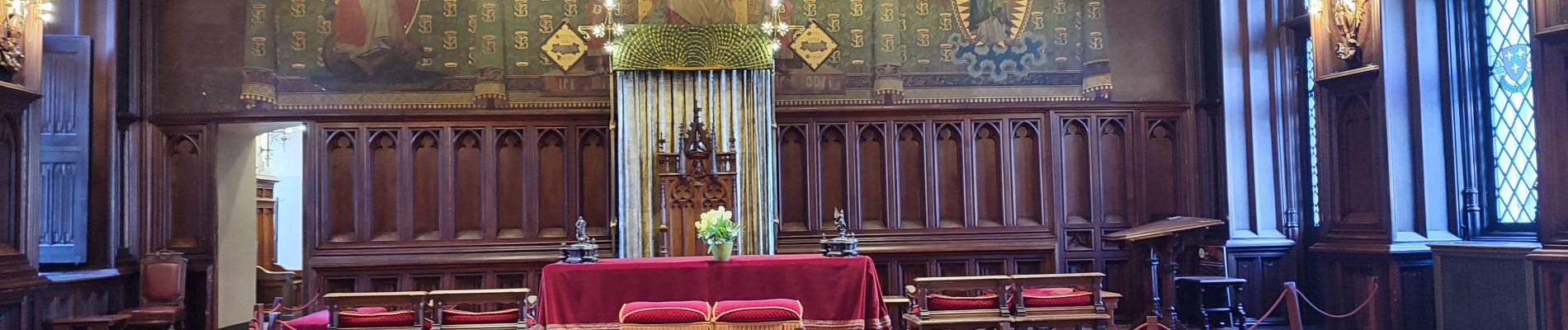
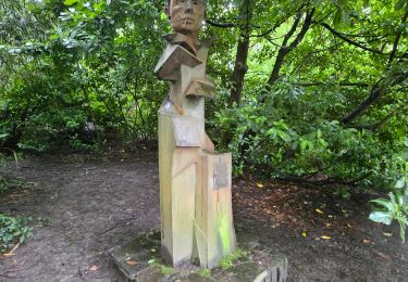
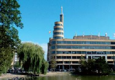
31 Fotos insgesamt. Klicken Sie auf ein Foto, um sie alle in der Galerie zu sehen.

Wandern

Wandern

Wandern

Wandern

Wandern
Wandern

Wandern

Wandern
Wandern